


THE SITE
The RCEP Site is an irregular shape and covers an area of approximately 113.55 hectares. It is located within the northern part of the County of Nottinghamshire, north of the market town of Retford, east of Sutton Cum Lound village and south of Lound village. The RCEP Site is therefore located within the administrative areas of Nottinghamshire County Council (‘NCC’) and Bassetlaw District Council (‘BDC’).
This part of the county and much of the surrounding area is predominantly rural typified by agricultural uses, with much of the RCEP Site currently used for grazing. That said, the area has an extensive history of sand and gravel extraction and other industry in the area; the RCEP Site itself was previously quarried for sand and gravel (known as Bellmoor Quarry), after which the resulting void was converted to form raised PFA disposal lagoons to take many millions of tonnes of the material via pipeline from Cottom Power Station. There are also industrial uses, including a pre-cast concrete works, anaerobic digestion plant and industrial estate in close proximity to the RCEP Site.
Current Site boundary
The RCEP Site was previously the largest PFA disposal operation in the County of Nottinghamshire and has shaped the current artificial topography of the land. It can be characterised as three connected areas:
These are described in more detail below.
-

Area A: Main Operational Site
-

Area B: Link Conveyor and Haul Road (outside of Main Operational Site)
-

Area C: Main Processing Site
Area A – Main Operational Site (the former PFA lagoons)
This area is approximately 105.84 ha and comprises the former PFA disposal lagoons site raised with vegetated embankments around its perimeter, and currently largely contains grassland for grazing, though this is of relatively poor quality. The area has historically been subject to a significant amount of sand and gravel extraction and is therefore not alien to extractive industries. The vegetated embankments are man-made; constructed to contain the PFA as part of the former disposal lagoon land use. The embankments are constructed primarily from site-won sandstone and soils, and for the most part are around 6m, with the lowest around 2-3m high.
The graphic below shows the significant sandstone embankments that contain the PFA. These existing embankments will offer very substantial and ideal screening of the proposed extraction activities and will therefore be retained in place while extraction of PFA happens behind them. This means that extraction plant for the most part will not be visible.
Area A is split between ‘Low-Rise’ to the east (7.5 – 11 m AOD) and ‘High-Rise’ to the centre and west (17 – 19 m AOD). The High-Rise is where the larger embankments (around 6-8 m high) are found, bounding the entire area.
SUTTON AND LOUNDE GRAVEL PITS SITE OF SPECIAL SCIENTIFIC INTEREST
The Sutton and Lound Gravel Pits Site of Special Scientific Interest (SSSI), part of the Idle Valley Nature Reserve, is located to the south of Area A. We want to make clear that there would be no direct impact on the SSSI and none of the PFA to be extracted is located within it. It is also important to make clear that Area A is very different to the SSSI.
The SSSI is as a low-lying gravel pit complex containing extensive areas of shallow and deep open water resulting from mineral extraction. In comparison, the RCEP Site located to the north has for the most part been restored to low quality grazing land, not the wetland habitats found in the SSSI. Furthermore, a large part of the RCEP site comprises artificially raised lagoons, which the Nottinghamshire Minerals Local Plan (2005) confirms “visually have not proved to be a success”. By excavating the PFA from the RCEP Site there is therefore an opportunity to replace the existing low-quality grazing land and artificial landform with much improved habitats, progressively in tandem with the extraction.
Lagoon embankments plan
High-rise phase 2
Northern lagoon embankment
Low-rise phase 2
Area B – Link Conveyor and Haul Road
This area is approximately 5.20 ha and includes a section of the conveyor and link road passing south from the Main Operational Site to the Main Processing Site, utilising farmland.
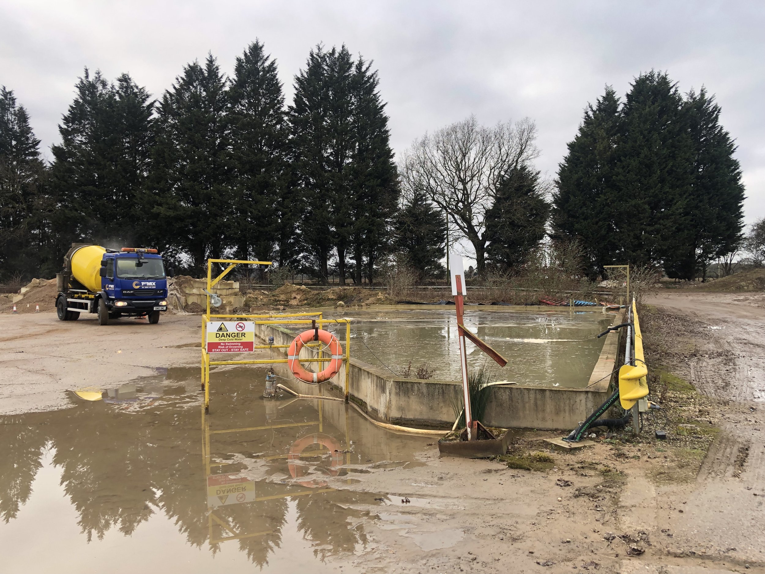
Current industrial uses at the site

Plantation woodland between area B and Area C
Area C – Main Processing Site
Area C comprises approximately 2.51 ha of land at the Bellmoor Industrial Estate, accessed from the A638 via a dedicated priority turn junction. It currently accommodates a number of industrial uses, including a stonemason and concrete batching plant, and is therefore in daily operational use. It was historically used as the plant site for the former Bellmoor Quarry.
Operations and storage in Area C

Concrete barrier storage on the site

Area C access point seen from the A638
The industrial areas along Randall Way in the northern part of Retford are located approximately 620 m to the southeast. The east coast mainline railway passes by to the south at around 300 m at its nearest point. The Main Processing Site will be constructed on an area previously operated by Tarmac during the former quarrying operations. The majority of the site is hardstanding, being the old car parking area for the quarry offices. Currently the site is utilised for storage of vehicles, concrete road barriers and aggregates for the existing operations at the Industrial Estate.
Industrial usage in Area C